
Shame of the South
Beating Jim Crow
Business pressure seldom makes headlines, as in the case of Disney. It’s more subtle. It is exercised in quiet meetings...
Read more
The Enemy is Religious Nationalism
Our Constitution deliberately offers faith a compromise, absolute freedom in exchange for staying out of government. But through the Republican...
Read more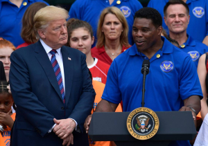
The Tragedy of Herschel Walker
There are many tragic figures in the politics of 2022. For me the most tragic is Herschel Walker.
Read more
Ghosts of Our Fathers, Angels of Our Nature
Our angels and our ghosts contend, but the money in this century will be made by those who liberate the...
Read moreThe Siege of America
It’s happening half a world away, but Ukraine is the Shiloh of this second war. It’s the point where we...
Read more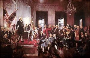
Imaginary Crisis
Today’s crisis is a crisis of choice, a crisis of convenience. It ends when we decide it ends.
Read more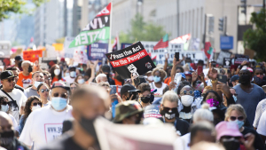
March for Democracy
The Republican oligarchs will have two choices. Get coverage early and confrontations will get huge coverage. Or let the marches...
Read more
Atlanta Politics: Still All About Race
Young whites who believed in the hope of Atlanta city and gentrified east side neighborhoods over the last decade are...
Read more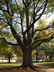
Arborists on Offense
A city that wants to grow, expanding the amount of land that’s built-up, has a responsibility to let arborists go...
Read more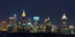
Atlanta and Workforce Housing
No slum looks like a slum when it’s before a planning department.
Read more


